Trying to decide between south of the highway and north in Water Mill? You are not alone. Each side delivers a distinct Hamptons lifestyle, from ocean-walk mornings to tucked‑away estate privacy. In this guide, you will learn the true trade-offs in access, privacy, risk, and costs, plus a practical checklist to move forward with confidence. Let’s dive in.
What “south vs north” means in Water Mill
Montauk Highway as the divider
Locally, “the highway” refers to Montauk Highway. It is the main east–west corridor through the Hamptons and a common line people use to compare neighborhoods. South of the highway heads toward ocean beaches and dunes. North of the highway reaches inland to ponds, farmland, woodlands, and larger estate parcels.
Who regulates what
Water Mill sits within the Town of Southampton in Suffolk County. Properties are shaped by town zoning and conservation boards, Suffolk County health regulations for septic and wells, FEMA flood maps, and New York State environmental rules. Approvals for building, renovating, clearing, or adding structures depend on your exact parcel and its overlays.
Lifestyle trade-offs you will feel
Beach access and summer energy
- South of the highway often puts you closer to Atlantic beaches. Some pockets offer very short or even walkable access, while many homes rely on town or county access points.
- Summer energy runs higher near beach corridors. Expect more seasonal traffic, parking demand, and activity.
- North of the highway typically means a short drive to the beach. Daily life is quieter with fewer summer crowds on local roads.
Privacy, acreage, and uses
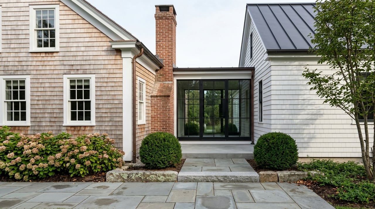
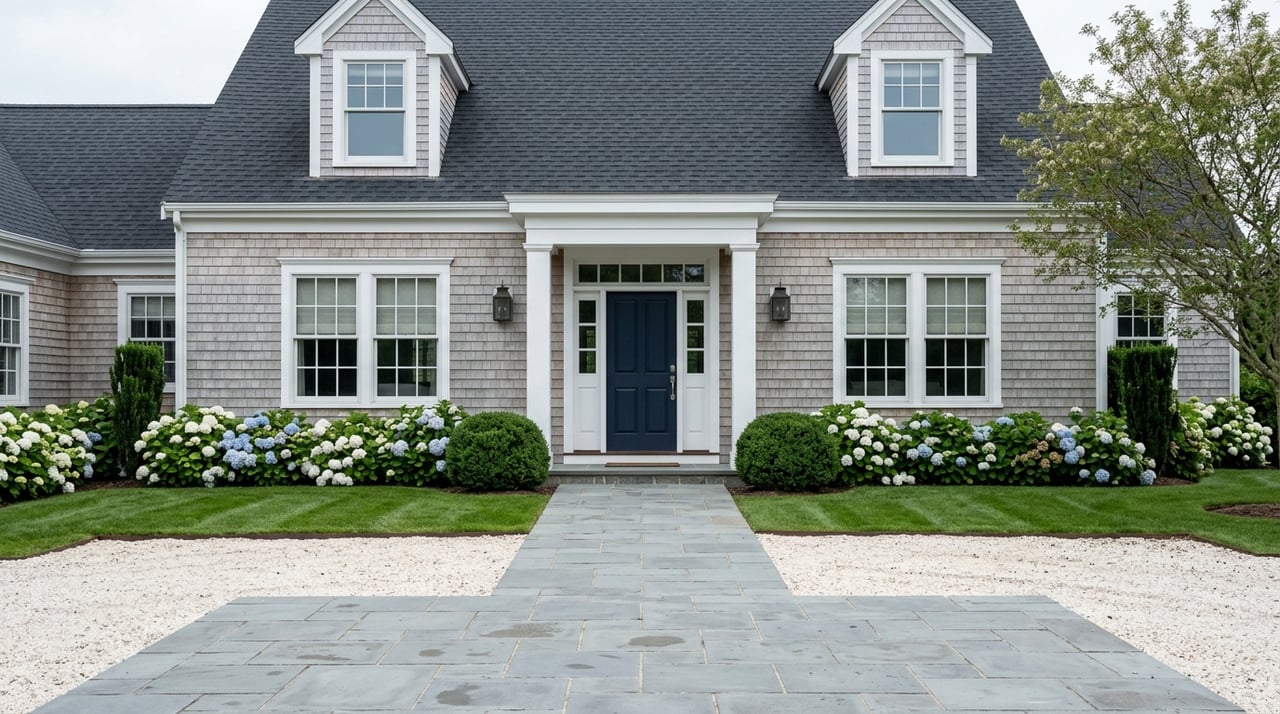
- South features mixed density with cottage lots, historic homes, and renovated summer houses. Privacy can be limited by smaller lots and summer turnover.
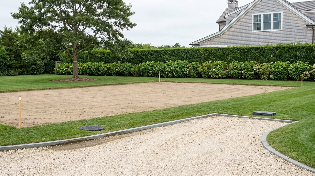
- North offers more space. Larger parcels, mature tree buffers, private drives, and room for outbuildings or equestrian facilities are more common.
Getting to shops and transit
- South-of-the-highway corridors and nearby village nodes concentrate restaurants, small shops, and beach services. Convenience rises, and so can congestion in peak season.
- North skews more residential and agrarian. You will likely drive to village centers, services, and the Long Island Rail Road’s Montauk Branch stops.
Seasonal rhythms and rentals
- South-of-the-highway areas tend to see larger seasonal population spikes and more short-term rentals. Homes close to the coast also face more wear from salt and weather.
- North-of-the-highway neighborhoods are often calmer year-round with fewer seasonal fluctuations.
Land, zoning, and environmental realities
Lot patterns and buildability
- South of the highway typically has closer-set lots near beach pockets and historic nodes. Buildable area and coverage depend on your exact zoning district.
- North of the highway is known for larger parcels and estates. Agricultural or preserved open-space neighbors can influence the character and view corridors.
- Zoning shifts block by block in Southampton. Always confirm your parcel’s specific zoning and setback rules before planning changes.
Flood zones and insurance
- Properties south of the highway are more likely to fall within FEMA-designated flood hazard zones. That can affect required structure elevations, foundations, and insurance.
- North parcels face less direct ocean surge exposure but can still be affected by ponds, groundwater, or future map updates.
- Flood zone status can materially affect insurability, cost of ownership, and permitted improvements. Get firm data early in your process.
Septic and utilities
- Much of Water Mill relies on on-site sewage treatment rather than municipal sewer. Suffolk County has increasingly strict nitrogen-reduction standards.
- Before buying, confirm septic capacity, age, and type, plus what upgrades could be required for your renovation plans.
- Utility availability varies by street. Long private drives north may require additional maintenance for private wells or power runs.
Wetlands and buffers
- Proximity to tidal or freshwater wetlands, or regulated streams, triggers buffers and permits that affect clearing, building, and septic placement.
- Dune systems and coastal protections can impose additional rules south of the highway. Understanding buffers is essential for any planned improvements.
Price and cost considerations
What drives value
- Value in Water Mill is driven by ocean proximity, beach access, views, lot size, privacy, historic character, and renovation quality.
- South-of-the-highway homes near or on the beach often command higher price per square foot for coastal lifestyle benefits.
- North-of-the-highway estates can match or exceed those prices in absolute terms when acreage, privacy, and custom improvements are significant.
Insurance and maintenance
- Coastal homes generally carry higher homeowner and flood insurance costs. Salt exposure also means more frequent exterior maintenance and system upkeep.
- Septic upgrades required by the county can be a major budget item, especially when expanding older homes.
- Property taxes reflect assessed value and local rates. Always verify current assessment and tax history for your parcel.
Liquidity and resale
- The Hamptons market is seasonal with a large share of second-home buyers and investors. Listing volume and demand move with the calendar.
- South-of-the-highway properties can capture impulse demand during summer. North estates often appeal to buyers planning for long-term privacy or year-round living.
Which side fits you? A quick guide
Choose south of the highway if you prioritize:
- Short or walkable access to the Atlantic.
- Daily beach lifestyle and seasonal amenities.
- Accepting higher insurance exposure and more summer activity.
Choose north of the highway if you prioritize:
- Privacy, acreage, and room for outbuildings or equestrian uses.
- Quieter year-round settings and larger grounds.
- Lower direct coastal exposure with a short drive to the beach.
Due diligence checklist for Water Mill buyers
Before you write an offer
- Confirm the parcel’s zoning district, permitted uses, and setbacks with the Town of Southampton.
- Pull the FEMA Flood Insurance Rate Map for the property and note any elevation requirements.
- Review current property taxes and the recent assessment history.
- Request septic records, inspection reports, and permits. Verify capacity for your intended bedroom count or expansions.
- Confirm any deeded beach access, private association rights, or recorded easements.
- Check for conservation easements or covenants on the property or adjacent land.
Inspections and technical steps
- Order a current survey to confirm boundaries, setbacks, and any encroachments.
- Complete title review for restrictions and easements.
- Schedule structural, pest, and environmental inspections. For older homes, consider lead and asbestos reviews.
- If the parcel is near wetlands or dunes, clarify any permits required for your planned work.
Financial and insurance planning
- Obtain homeowner and flood insurance quotes early. Ask about underwriting restrictions for coastal properties.
- Estimate septic upgrade costs if your plans trigger county requirements.
- Verify mortgage eligibility if the property sits in a high-risk flood zone.
Neighborhood and lifestyle fit
- Visit at different times: weekdays, weekends, off-season, and peak summer. Note traffic, sound, and activity patterns.
- Test-drive your commute to essential services and transit. If schools matter, confirm district boundaries.
The right team
- Engage a local agent experienced in Water Mill and Southampton zoning.
- For complex parcels, consult a land-use attorney and a licensed septic engineer.
- Consider a surveyor and structural or coastal engineer for properties near shorelines.
- Work with an insurance broker familiar with coastal underwriting.
How Deborah Srb helps you choose wisely
You deserve a clear, confident decision on where to buy in Water Mill. With more than three decades in the Hamptons and a boutique, design-forward approach, Deborah pairs neighborhood-level intelligence with curated access, including off-market opportunities. She helps you weigh south-of-the-highway coastal living against north-of-the-highway privacy, then aligns floor plans, lot potential, and regulatory paths with your goals.
From staging and design consultation to development-minded advisory, you get discreet guidance and a precise plan through due diligence, permits, and negotiations. If you are exploring Water Mill on either side of the highway, connect for a conversation tailored to how you live and invest. Work with Deborah Srb.
FAQs
Do south-of-the-highway homes in Water Mill always cost more?
- Not always. Beach proximity often boosts price per square foot, but large north-of-the-highway estates with acreage and premium improvements can equal or exceed south-of-the-highway prices.
How important is flood insurance south of the highway in Water Mill?
- It is essential if the property lies in a FEMA flood zone and still advisable to assess even outside mapped zones. Flood status can affect premiums, elevation requirements, and financing.
Are renovations near the beach subject to special rules in Water Mill?
- Yes. Coastal setbacks, dune protection, wetland buffers, and conservation oversight can shape design, elevation, and permitting. Confirm requirements before you plan.
Will I need to upgrade the septic system when I renovate?
- Possibly. Suffolk County’s nitrogen-reduction standards may trigger upgrades for expansions or older systems. Budget for engineering and installation early in your planning.
What summer traffic should I expect near Montauk Highway?
- Seasonal congestion increases along the main corridor and beach routes. If commute times matter, test-drive the route on peak weekends and during off-hours before you buy.
How can I verify beach access rights for a property?
- Request recorded documents that detail deeded access, association rights, and easements. Confirm specifics with your attorney and the town before you rely on them.